 Lýsigagnagátt
ESRI Shapefile
Type of resources
Available actions
Topics
INSPIRE themes
Keywords
Contact for the resource
Provided by
Years
Formats
Representation types
Update frequencies
status
Scale
Resolution
-

The European Urban Atlas provides reliable, inter-comparable, high-resolution land use and land cover data for 800 Functional Urban Area (FUA) for the 2012 reference year in EEA39 countries. The spatial data can be downloaded together with a map for each FUA covered and a report with the metadata for the respective area. Additional information (product description, mapping guidance and class description) can be found here: https://land.copernicus.eu/user-corner/technical-library/urban-atlas-2012-mapping-guide-new Commission Directorate-General for Regional and Urban Policy and the Directorate-General for Enterprise and Industry in the frame of the EU Copernicus programme, with the support of the European Space Agency and the European Environment Agency.
-

Riparian zones represent transitional areas occurring between land and freshwater ecosystems, characterised by distinctive hydrology, soil and biotic conditions and strongly influenced by the stream water. They provide a wide range of riparian functions (e.g. chemical filtration, flood control, bank stabilization, aquatic life and riparian wildlife support, etc.) and ecosystem services. The Riparian Zones products will support the objectives of several European legal acts and policy initiatives, such as the EU Biodiversity Strategy to 2020, the Habitats and Birds Directives and the Water Framework Directive. Land Cover/Land Use (LC/LU) classification is tailored to the needs of biodiversity monitoring in a tailored buffer zone along large and medium-sized European rivers (with Strahler levels 3-8 derived from EU-Hydro). LC/LU is extracted from VHR satellite data and other available data in a buffer zone of selected rivers. The classes follow the pre-defined nomenclature on the basis of MAES typology of ecosystems (Level 1 to Level 4) and Corine Land Cover, providing 80 distinct thematic classes with a Minimum Mapping Unit (MMU) of 0.5 ha and a Minimum Mapping Width (MMW) of 10 m. The production of the Riparian Zones products was coordinated by the European Environment Agency in the frame of the EU Copernicus programme.
-
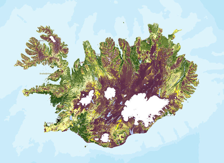
Stöðumat á ástandi gróður- og jarðvegsauðlinda Íslands. Landupplýsingaþekjan fyrir stöðumat Grólindar er á rastaformi. Nákvæmni gagna miðast við mælikvarða 1:100.000. Stöðumat GróLindar sýnir, á grófum kvarða, stöðu gróður- og jarðvegsauðlinda Íslands eins og hún er í dag. Stöðumatið er unnið upp úr kortlagningu vistgerðaflokka Náttúrufræðistofnunar Íslands frá 2016 og kortlagningu á jarðvegsrofi á vegum Rannsóknastofnunar landbúnaðarins og Landgræðslunni frá 1997. Landgræðslan og Skógræktin voru sameinaðar 1. janúar 2024 og ber stofnunin heitið Land og skógur. Frekari upplýsingar um aðferðafræðina á bak við stöðumatið má sjá í ritinu: Bryndís Marteinsdóttir, Elín Fjóla Þórarinsdóttir, Guðmundur Halldórsson, Jóhann Helgi Stefánsson, Jóhann Þórsson, Kristín Svavarsdóttir, Magnús Þór Einarsson, Sigþrúður Jónsdóttir og Sigmundur Helgi Brink, 2020. Stöðumat á ástandi gróður- og jarðvegsauðlinda Íslands. Aðferðafræði og faglegur bakgrunnur. Rit Landgræðslunnar nr. 3. Gunnarsholt, Ísland. https://grolind.is/wp-content/uploads/2020/06/GroLind_stodumat_18_06_2020.pdf
-
Vinsamlega hafið samband við Umhverfisstofnun vegna nánari upplýsinga.
-

Vinsamlega hafið samband við Umhverfisstofnun vegna nánari upplýsinga.
-
Vinsamlega hafið samband við Umhverfisstofnun vegna nánari upplýsinga.
-

Riparian zones represent transitional areas occurring between land and freshwater ecosystems, characterised by distinctive hydrology, soil and biotic conditions and strongly influenced by the stream water. They provide a wide range of riparian functions (e.g. chemical filtration, flood control, bank stabilization, aquatic life and riparian wildlife support, etc.) and ecosystem services. The Riparian Zones products support the objectives of several European legal acts and policy initiatives, such as the EU Biodiversity Strategy to 2020, the Habitats and Birds Directives and the Water Framework Directive. Green Linear Elements (GLE) are ecologically significant, structural landscape elements which act as important dispersion vectors of biodiversity. GLEs comprise hedgerows and lines of trees and offer a wide range of ecosystem services: they are linked to both landscape richness and fragmentation of habitats, with a direct potential for restoration, and contribute also to hazard protection. Green linear elements form part of the Green Infrastructure and are specifically addressed in the EU Biodiversity Strategy 2020. The GLE product provides reliable and detailed geospatial information on the occurrence and spatial distribution of: Small linear vegetation features such as hedgerows, scrub and tree rows with a minimum length of 100m and a width of up to 10m; Isolated patches of trees and scrub with a size between 500 m² and 0.5 ha. Green linear elements including trees and hedgerows with 100m minimum length and 500 m² Minimum Mapping Unit (MMU)
-
Ramsarsvæði eru votlendissvæði í heiminum sem njóta sérstakrar verndar.
-

The Urban Atlas provides pan-European comparable land use and land cover data for Functional Urban Areas (FUA). The Street Tree Layer (STL) is a separate layer from the Urban Atlas 2012 LU/LC layer produced within the level 1 urban mask for each FUA. It includes contiguous rows or a patches of trees covering 500 m² or more and with a minimum width of 10 meter over "Artificial surfaces" (nomenclature class 1) inside FUA (i.e. rows of trees along the road network outside urban areas or forest adjacent to urban areas should not be included). Urban Atlas is a joint initiative of the European Commission Directorate-General for Regional and Urban Policy and the Directorate-General for Enterprise and Industry in the frame of the EU Copernicus programme, with the support of the European Space Agency and the European Environment Agency.
-
Skyndilokanir Upplýsingar um skyndilokanir veiðisvæða koma úr gagnagrunnum Fiskistofu. Frá árinu 2020 hefur ákvörðunartaka um skyndilokanir veiðisvæða fyrir tilteknum veiðum verið í höndum Fiskistofu en var áður hjá Hafrannsóknarstofnun. Skyndilokun varir að jafnaði í 2 vikur. Tímamörk lokunar eru alltaf tilgreind með ákvörðun skyndilokunar. Ákvörðun um skyndilokun veiðisvæðis er gerð þegar mælingar á afla stenst ekki viðmiðunarmörk Hafrannsóknarstofnunar en einnig til að loka svæðum sem hafa staðbundinn kvóta. Reglugerðalokanir Reglugerðir eru ákvarðaðar af Atvinnuvega- og nýsköpunarráðuneytinu (ANR) og skilgreina bannsvæði og tímabil, þar sem fiskveiðar eru bannaðar með tilteknum veiðarfærum. Sumar reglugerðarlokanir eru árstíðarbundnar, til dæmis friðun vegna hrygninga þar sem svæðum sem fiskur kemur til hrygninga er lokað á ákveðnum tíma ársins.